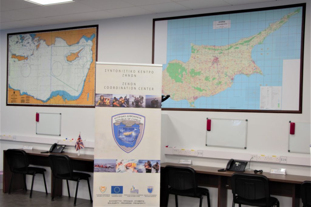
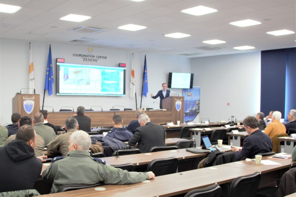
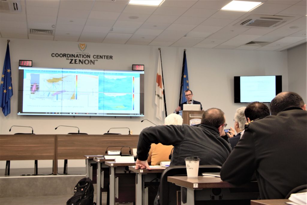
On 21 February 2020, Dr. Daniel Hayes presented existing as well as new sources of current and waves information to Cypriot governmental and non-governmental agencies at the JRCC Zenon Center.
These Cypriot agencies include:
- Joint Rescue Coordination Center (JRCC)
- Aircraft Accident & Incident Investigation Board (AAIIB)
- Department of Meteorology (Met Office)
- Department of Fisheries & Marine Research (DFMR)
- Deputy Ministry of Shipping (DMS)
- Navy
- Port & Marine Police
- Police Air Wing
- Air Force
- Maritime Institute of Eastern Mediterranean (MarInEM)
- Cyprus Marine and Maritime Institute (CMMI)
Existing Measurement Methods
After opening remarks by Mr. Kyriakos Mavris, Dr. Hayes presented the traditional methods to measure currents & waves. These methods include ships, buoys and autonomous platforms aided by satellites to transmit data. These platforms spend most of the time on the surface of the ocean measuring properties of the water.
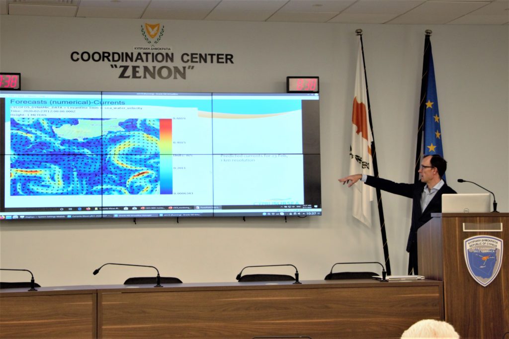
Following this first presentation, workshop participants discussed their experiences with the available current and waves information. As the discussion progressed, the growing consensus was that existing data relies on forecasts that may not be reliable.
For example, leaders of the JRCC indicated that their key focus is to locate & rescue people in distress. It is crucial that they able to predict various targets’ positions relative to up-to-date current and waves data.
In another example, officials from the DFMR referenced the European Marine Strategy Framework Directives to monitor both #7: hydrographical conditions & #10: marine litter.
In particular, Cyprus must ensure:
#7 – Permanent alteration of hydrographical conditions does not adversely affect marine ecosystems.
#10 – Properties and quantities of marine litter do not cause harm to the coastal and marine environment.
– European Commission – Good Environmental Status Directives
The DFMR focuses on monitoring hydrological changes over time. Officials cited the real need to collect data of coastal waters including ports, marinas, harbours & offshore structures such as oil rigs & wind farms.
In another example, an official from the Met Office indicated that they focus on on the surface of the water and above including the weather, winds and wave height. While they can choose from various “good” models to determine a forecast, the department still needs reliable, accurate and up-to-date data to determine which is the best forecast, especially since their forecasts inform the whole Eastern Mediterranean region.
The DMS also needs reliable data, especially in cases of immanent danger and for coastal safety. In particular, this department needs to measure wave height and period as well as the source of the waves.
State of the Art Measurement Methods
Following this fruitful discussion, Dr. Hayes presented how data from drifters and gliders greatly improved forecasting models as well as how HF Radar stations around the island can provide the necessary data so many of these departments seek.
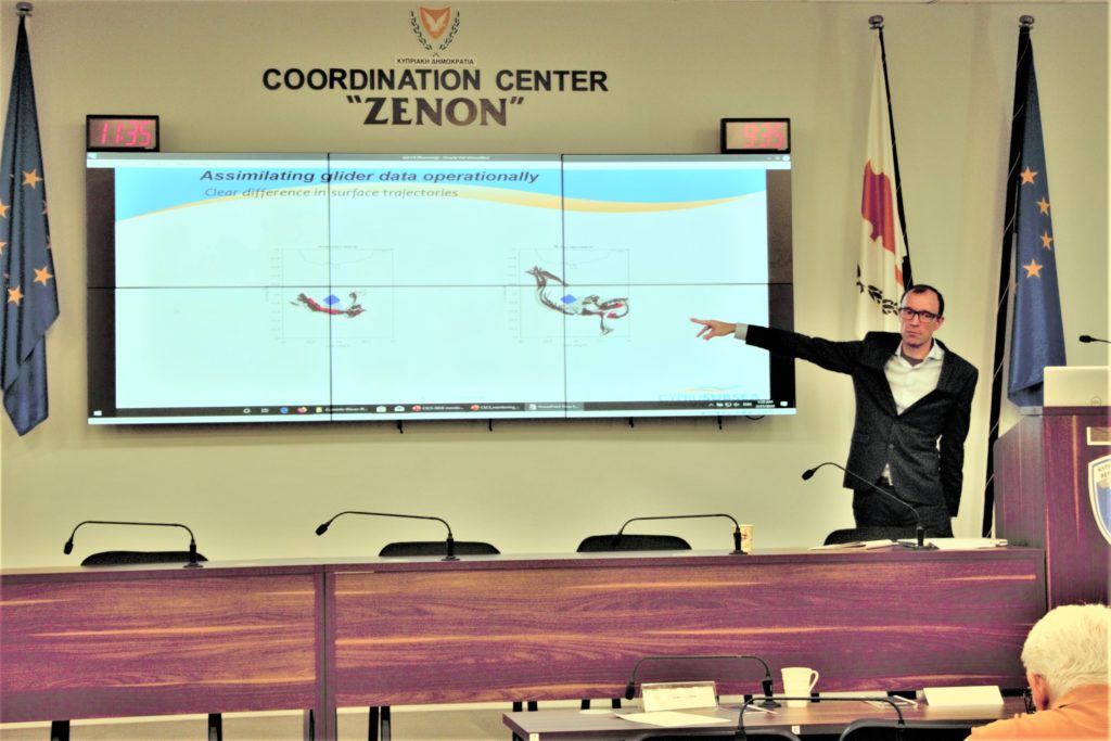
A follow up discussion focused on the need for accurate, real time data. The ability to access historical data of waves & currents for various legal purposes such as court cases was also cited.
Regarding an HF Radar system, workshop participants reviewed technical specifications such as the number of antennas, stations, range & resolution. They expressed that the capability to access historical data was both necessary and attractive.
Future Endeavors
Currently, there is momentum to purchase some of the featured marine systems to measure current and waves. Mr. Zacharias Siokouros of CMMI & MarInEM indicated that there are current discussions to design and establish an Integrated “Cyprus Marine Observation Network”. This network will centralize all sources and programs for data acquisition and ensure the appropriate protocols. Mr. Siokouros sought fellow collaborators to establish this network on the island.
Following these presentations, Cyprus Subsea Consulting and Services continues to support sustainable blue growth for Cyprus and the greater Eastern Mediterranean region. CSCS is involved with ongoing talks with these Cypriot agencies to design, purchase and maintain the critical systems that provide the necessary current and waves data of the coastal areas and sea around Cyprus – especially the neglected eastern side of the island!


